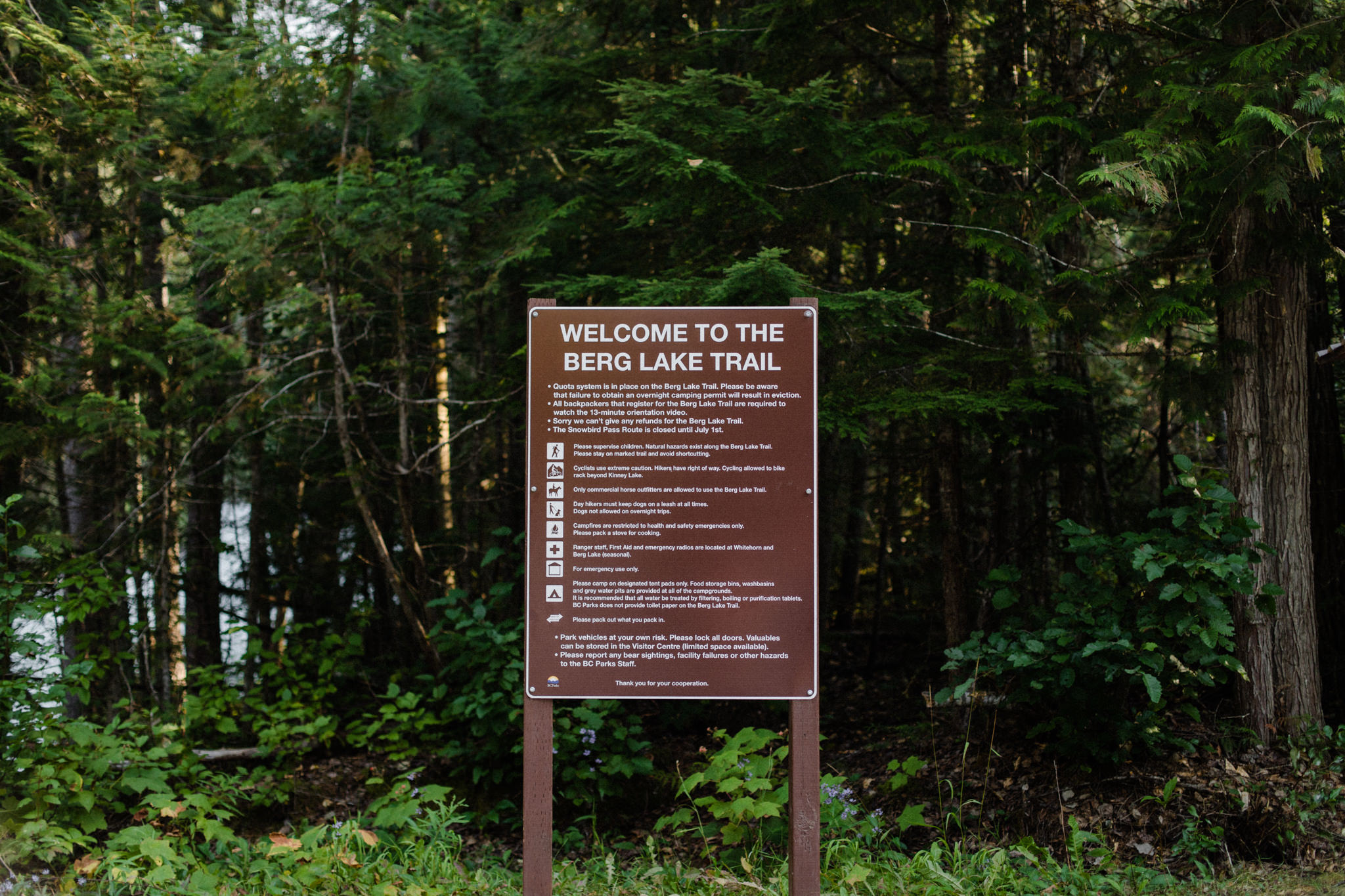
Berg Lake Trail: Part One.
“Do you guys do this for fun?”
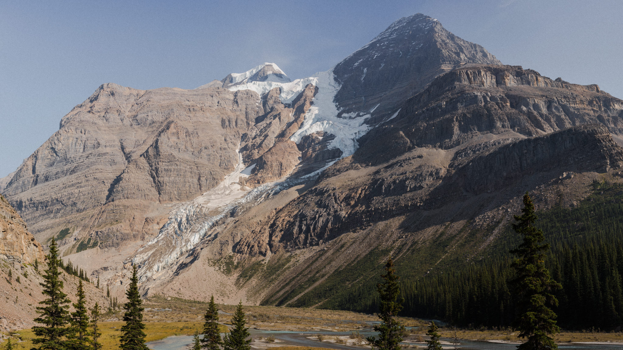
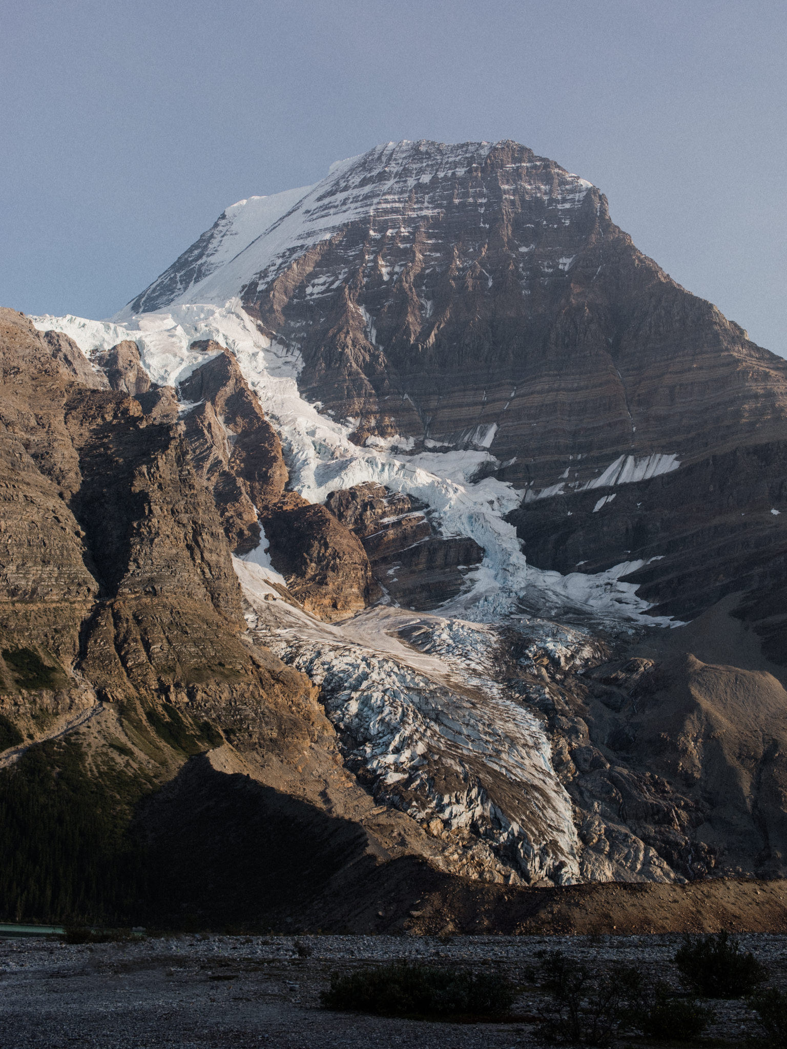
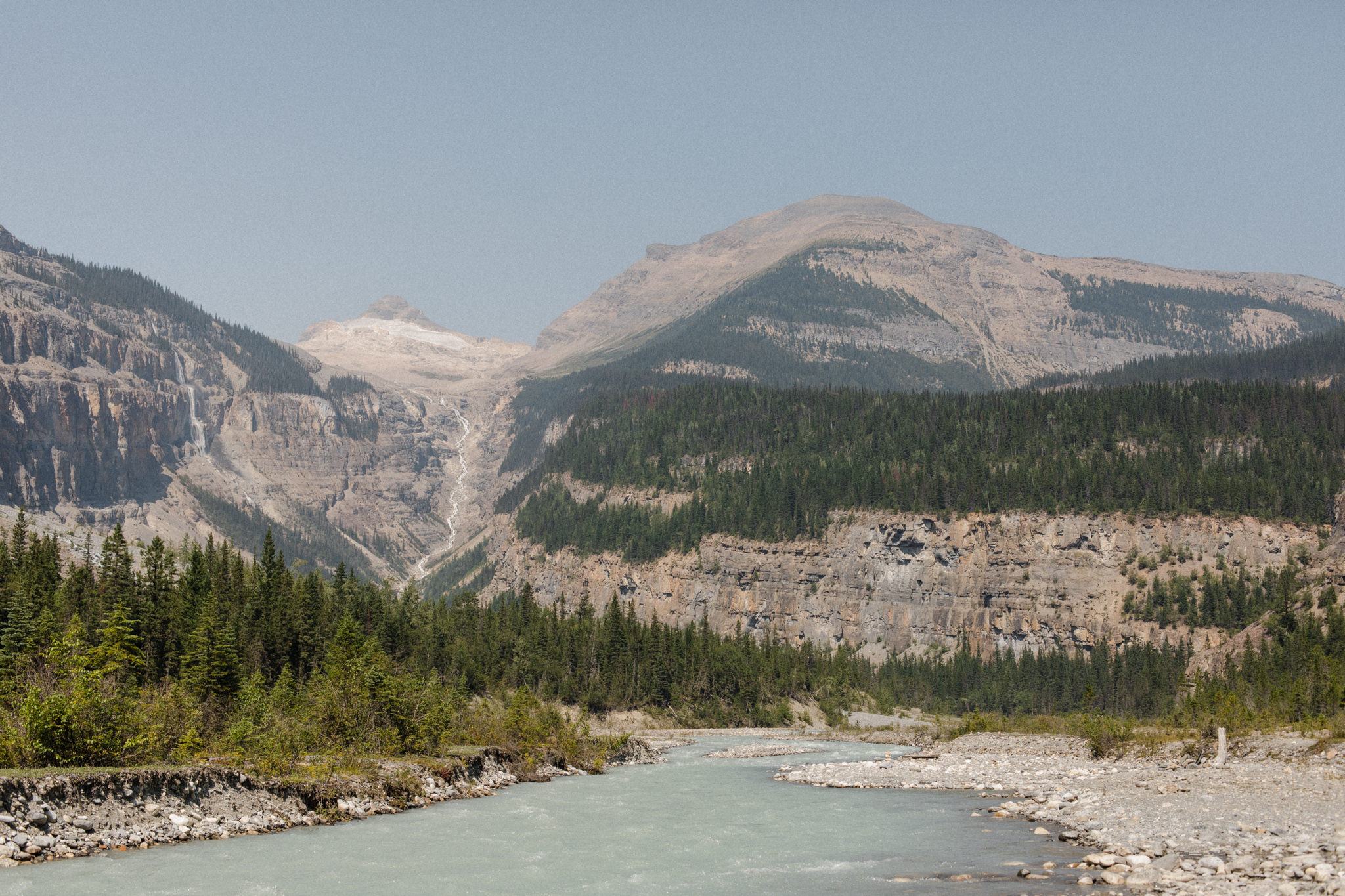
These were the words uttered by a group of girls we passed on our way down from Berg Lake. By that point, we were already a quarter of the way into our 20km descent, having already spent 4 days living at the foot of Mount Robson, the Canadian Rockies’ tallest peak (3,954m above sea level).
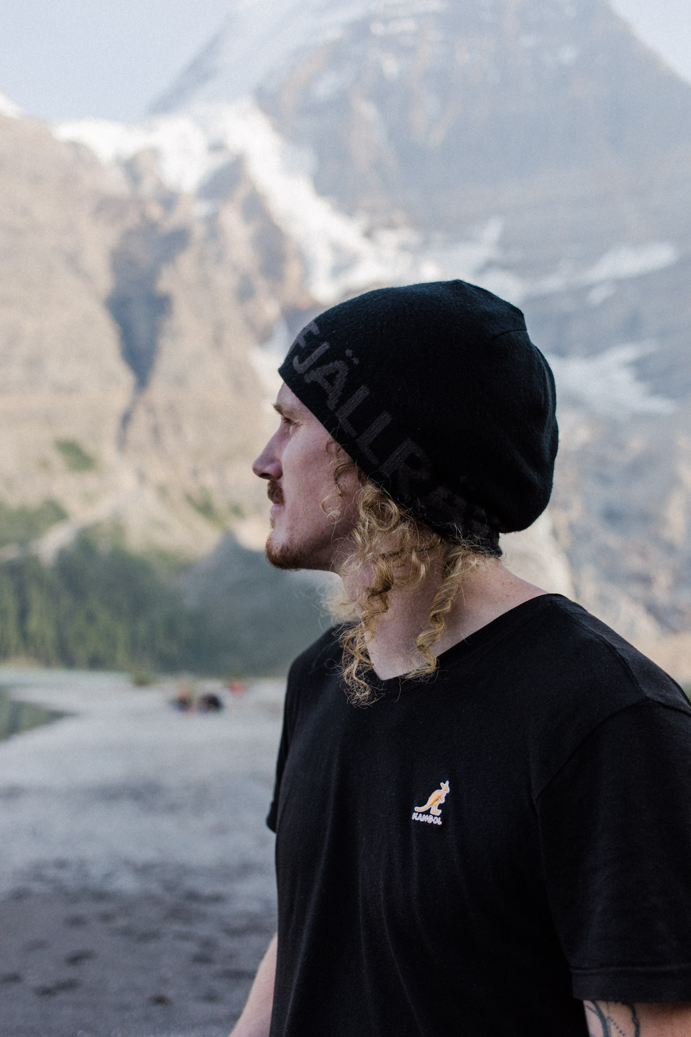
It was with a confident, resounding “yes” that we responded--except for that the word “fun” nowhere near encapsulates the true feeling of being that close to nature. Not only living in it, but living with it.
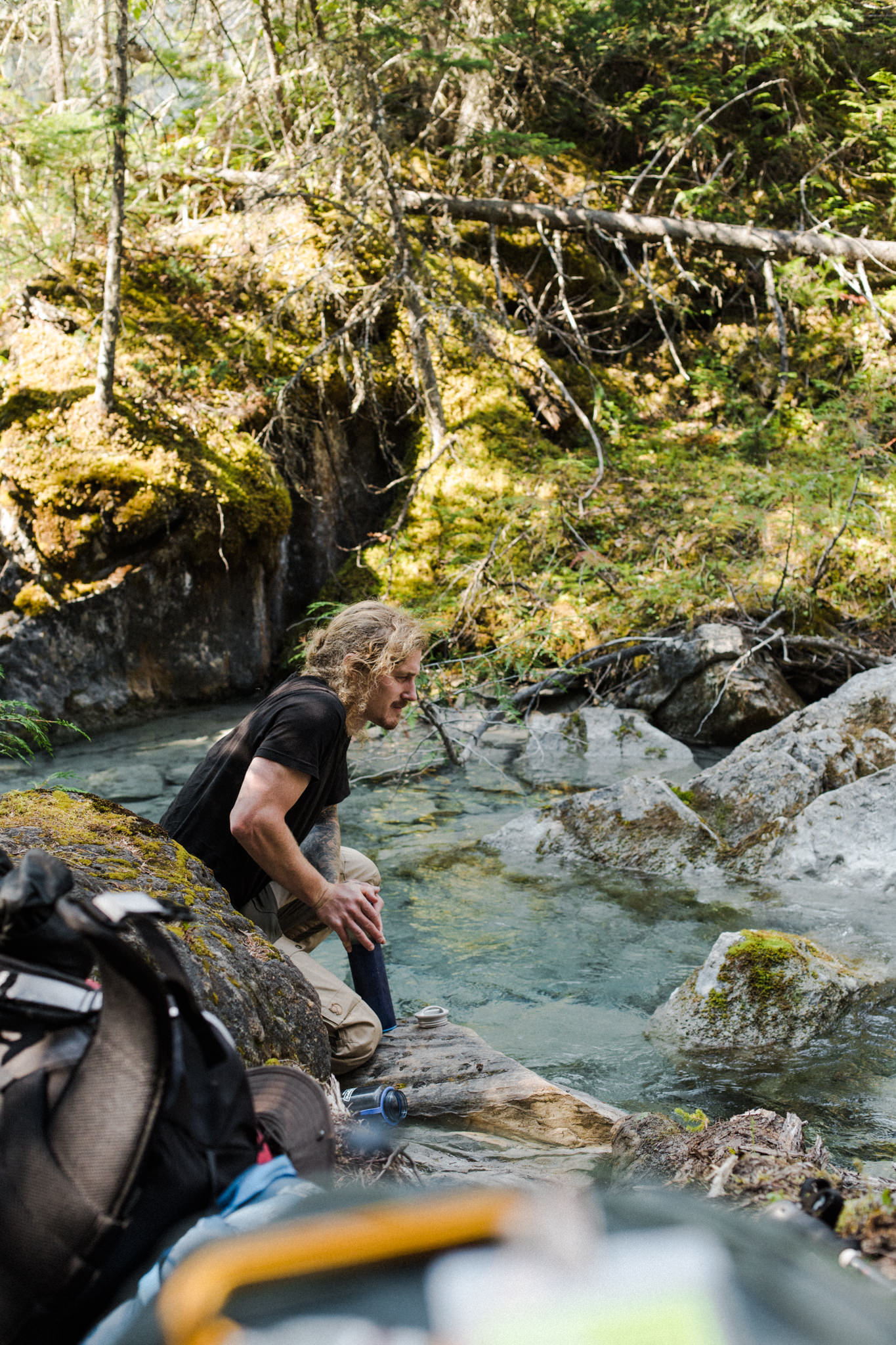
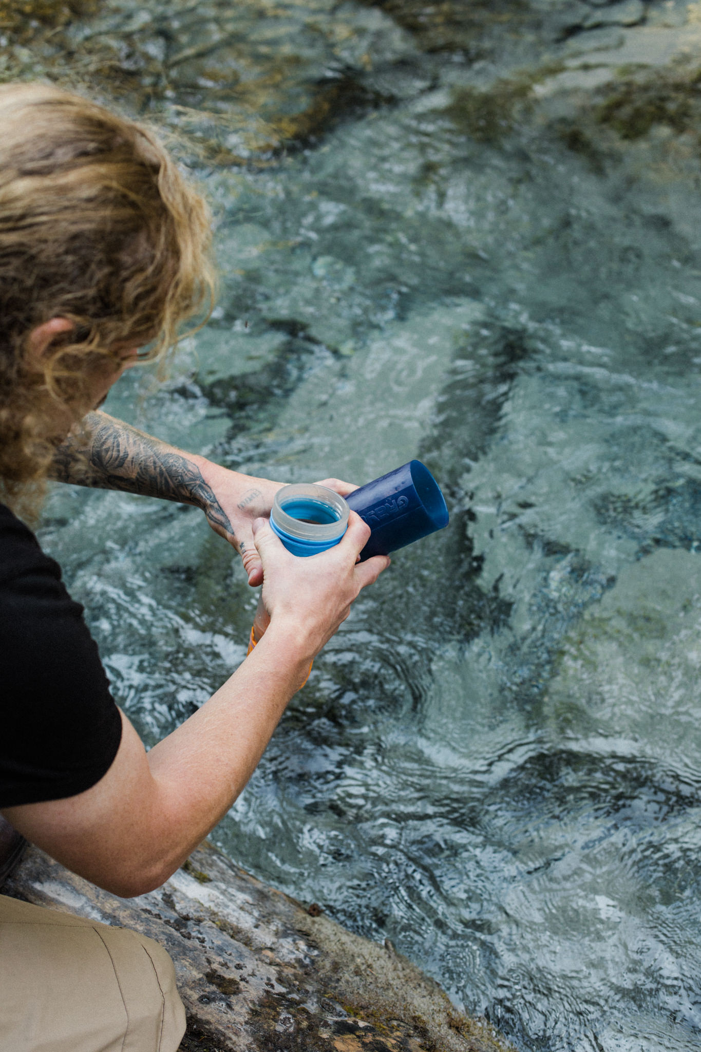
We exchanged the daily vehicle commute for long walks in the woods; we sourced our water from rivers and lakes instead of the tap; we went to sleep in our tents to the sound of the glaciers cracking—a thunderous and unique sound we are unlikely to ever forget—instead of falling asleep in our beds to the familiar drone of city noise.
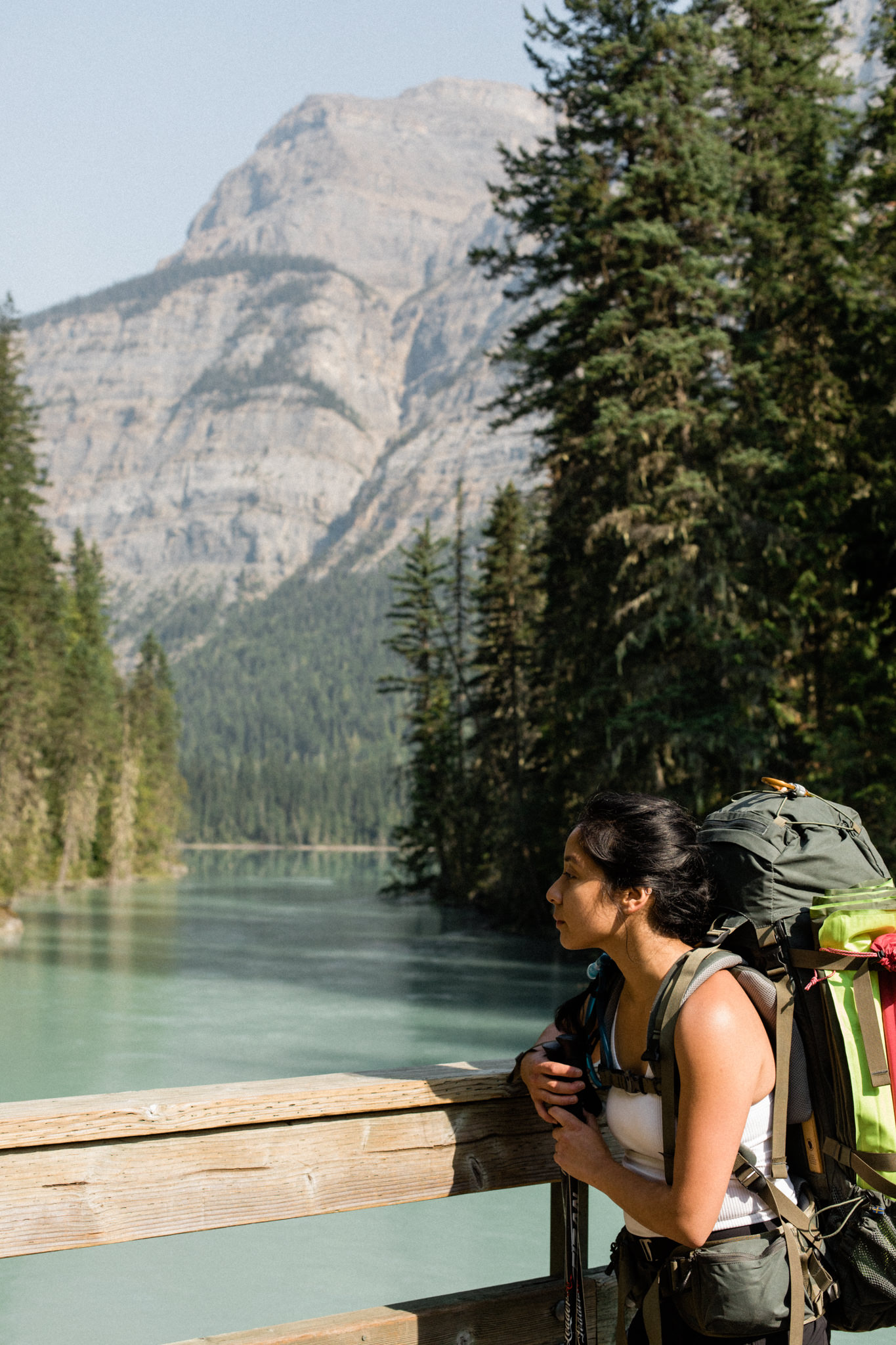
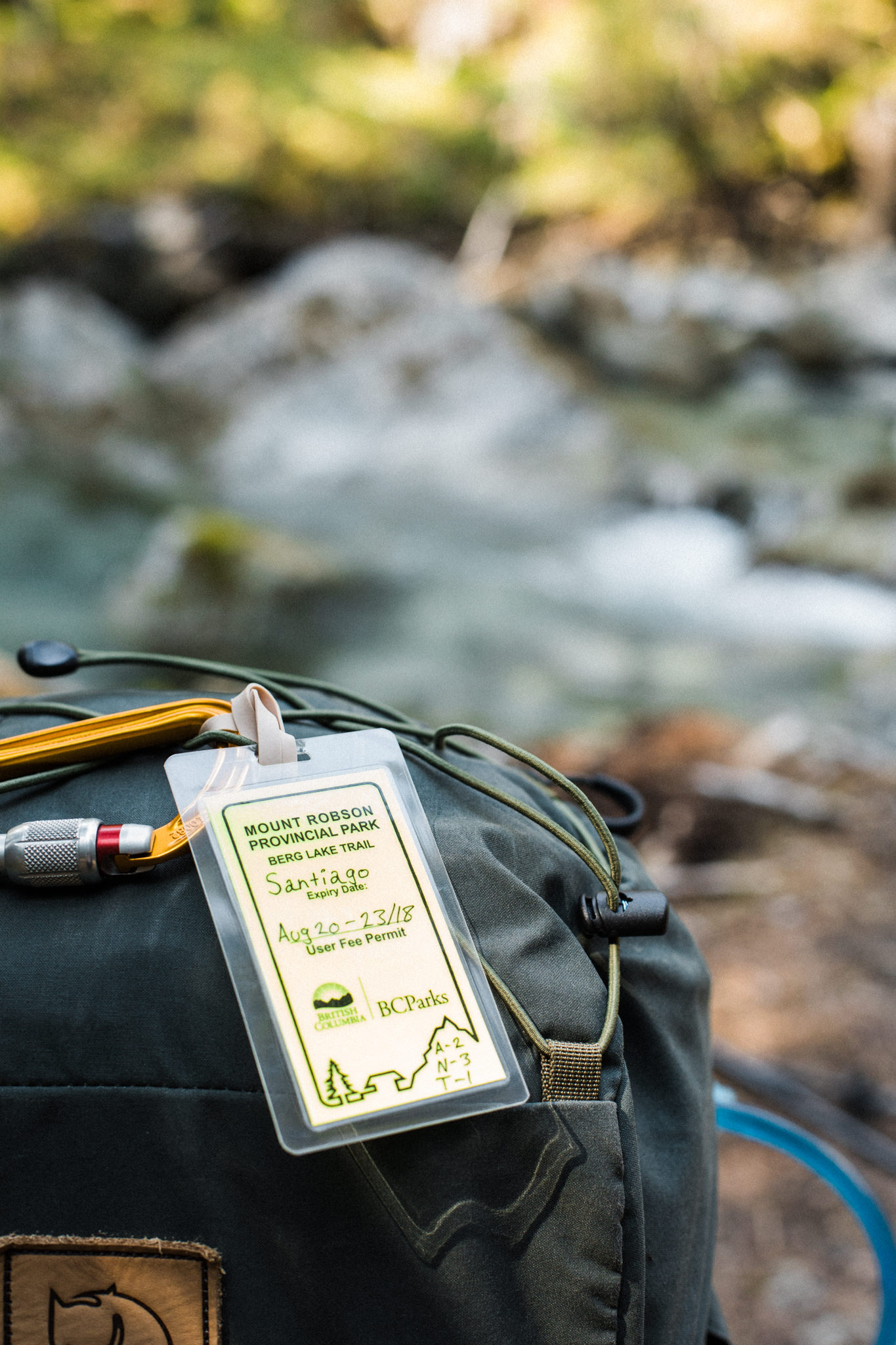
It was in December of 2017 that I booked myself on the Berg Lake Trail for the following summer. After a year of living in Canada and completing 30-something hikes, I was determined to make 2018 the year I would go on my first multi-day backcountry trip, carrying everything I needed to survive for 4 days on my back.
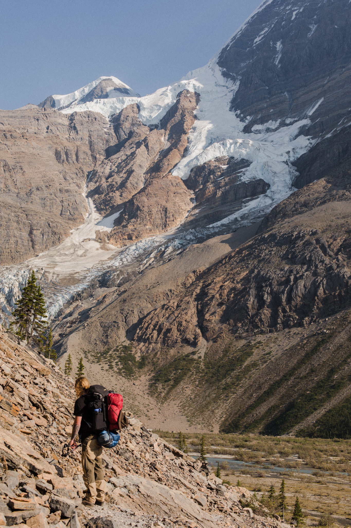
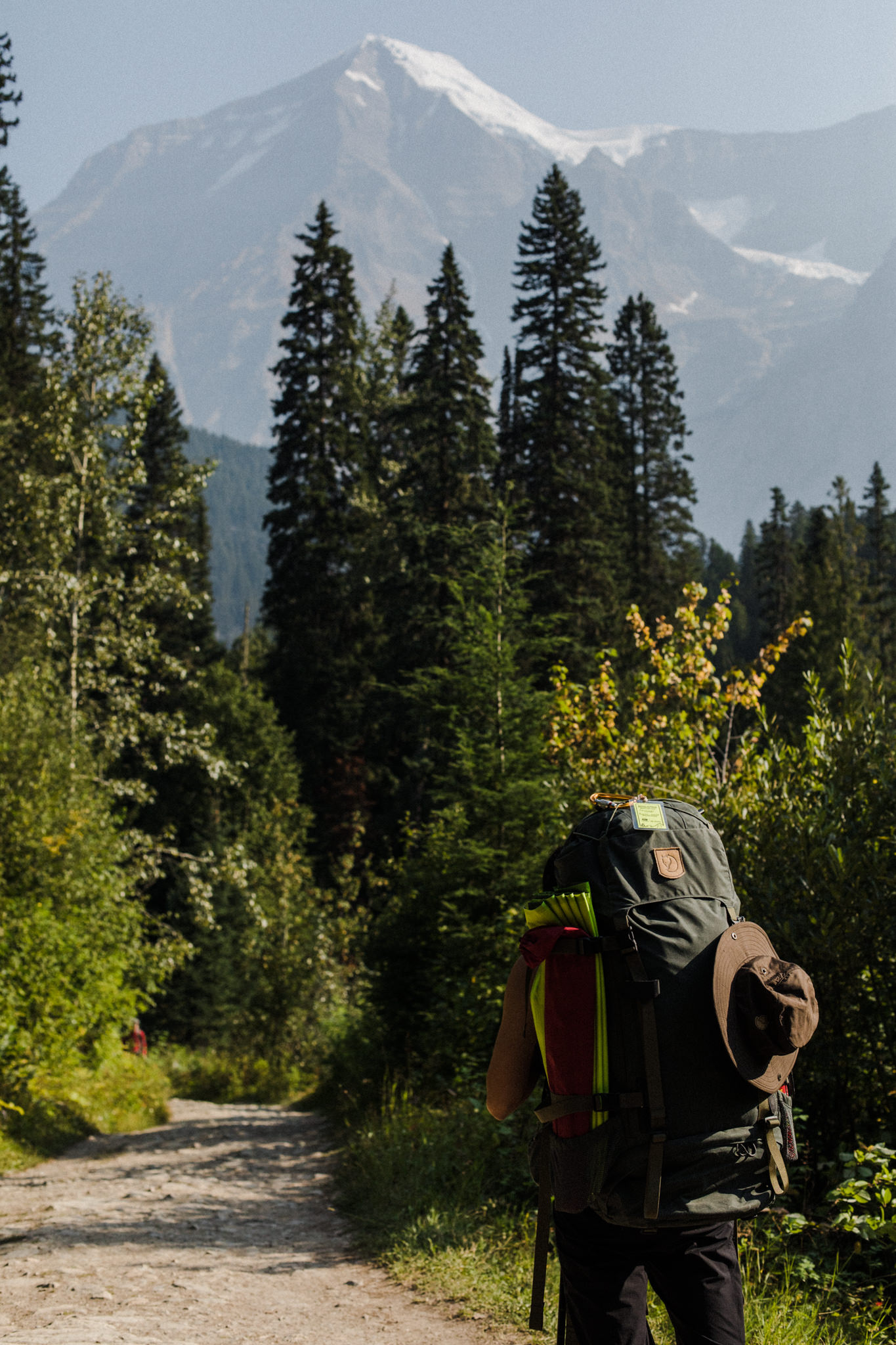
I knew that in the end, we would complete approximately 70km (43.5mi) of hiking with who-knows-how-much elevation gain (it was 2,635m—8,645ft. of incline in total). I’d be lying if I said there wasn’t a hint of trepidation: how would I know if I was physically or mentally up to the challenge, when I’ve never before had to walk 20km in one day, carrying a backpack one-third of my body weight?
Well, as with many a thing in life, sometimes the only way to know, is to go.
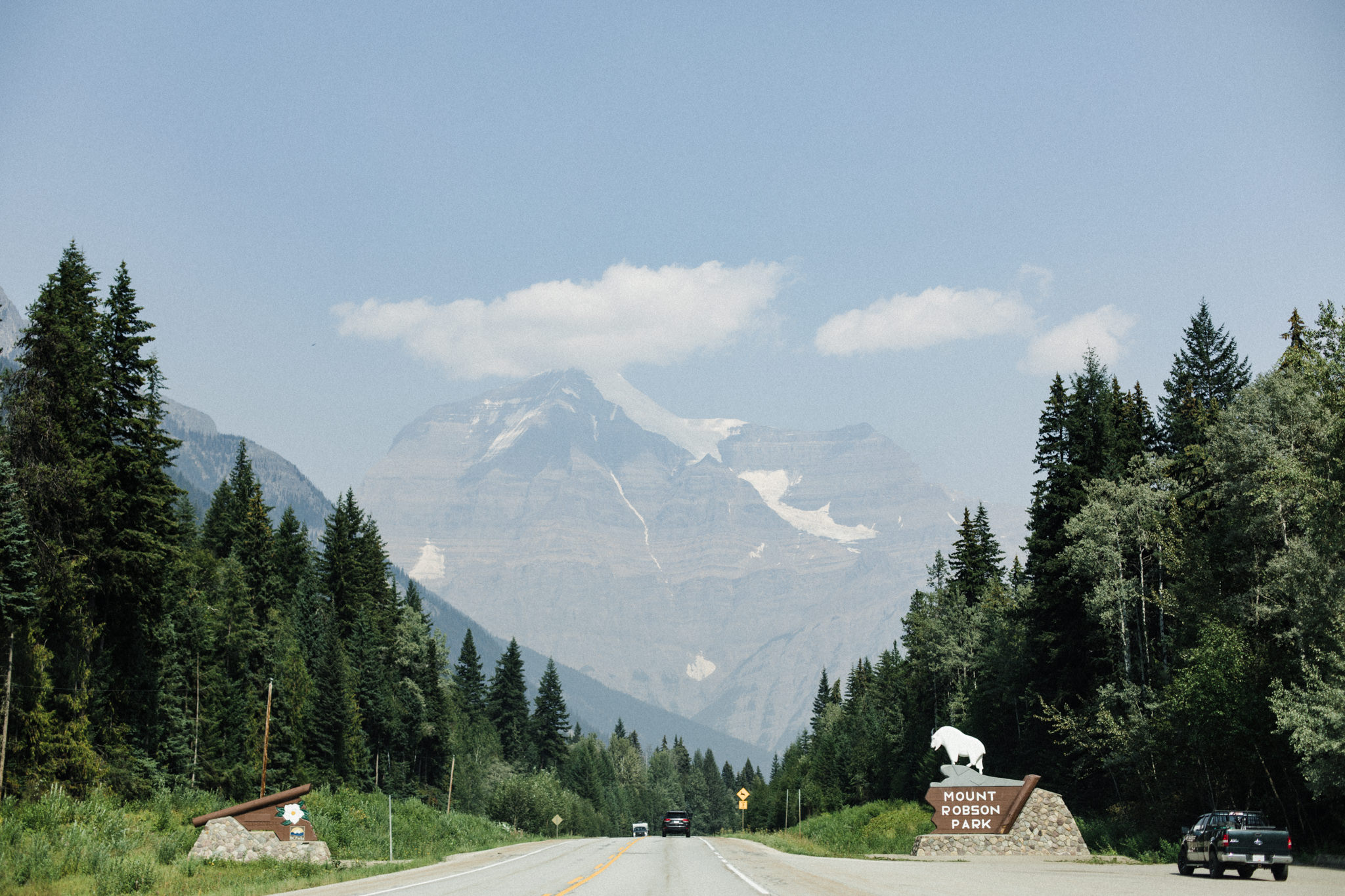
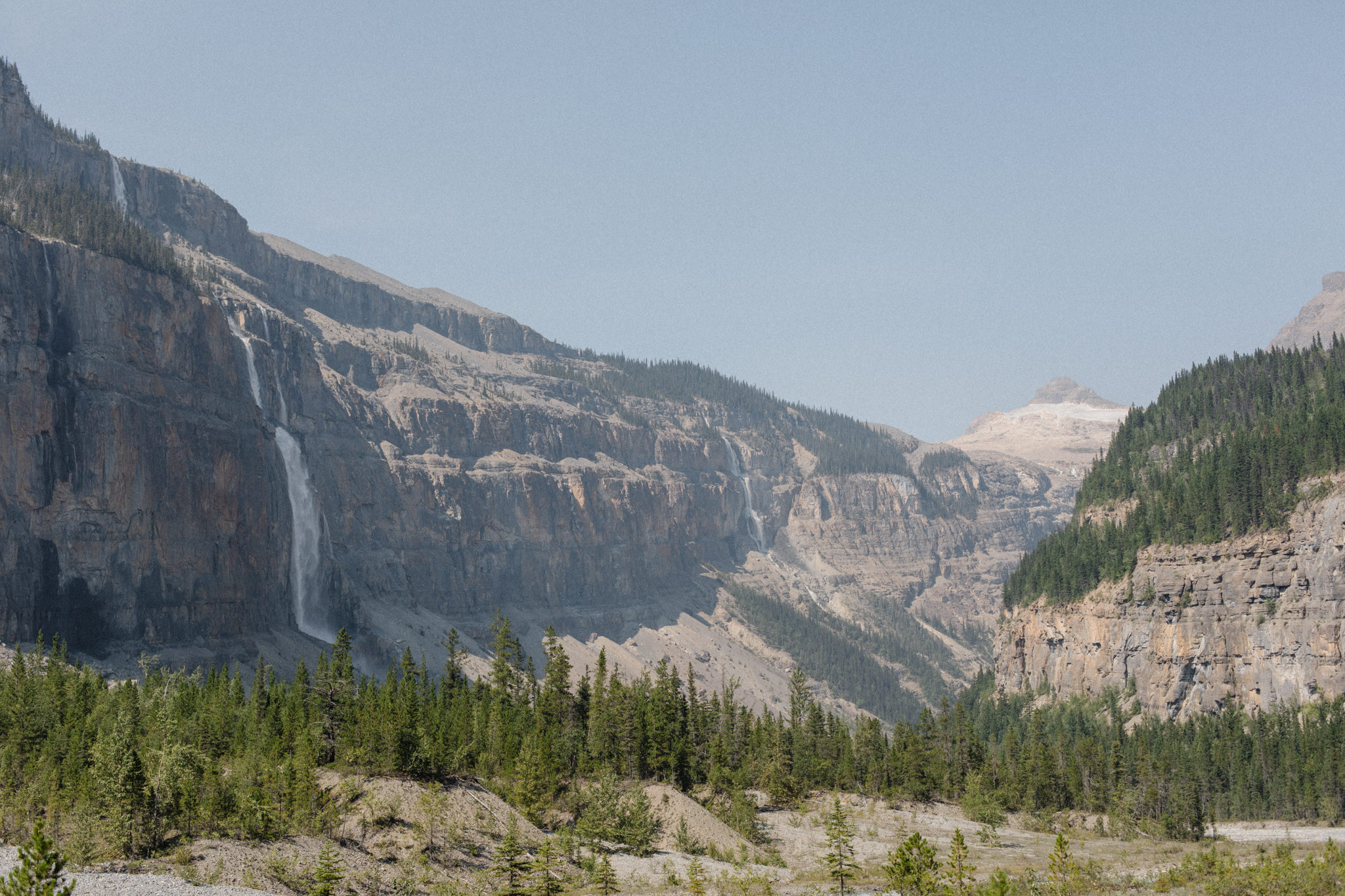
On the day we left, we awoke to the same orange-tinged haze that had been plaguing our town for weeks; our mountains all but a faint outline through the smoke. Recent summers in the Rockies have also been accompanied by thick smog from wildfires in the region. We were worried about what that would mean for our trip: it would be challenging enough without also having to breathe in polluted air. 4.5 hours north in Mt. Robson Provincial Park, however, the skies were clear, giving us two blissful, smoke-free days to start our trip.
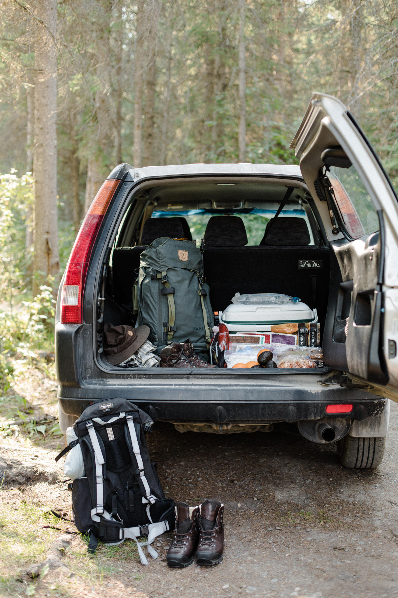
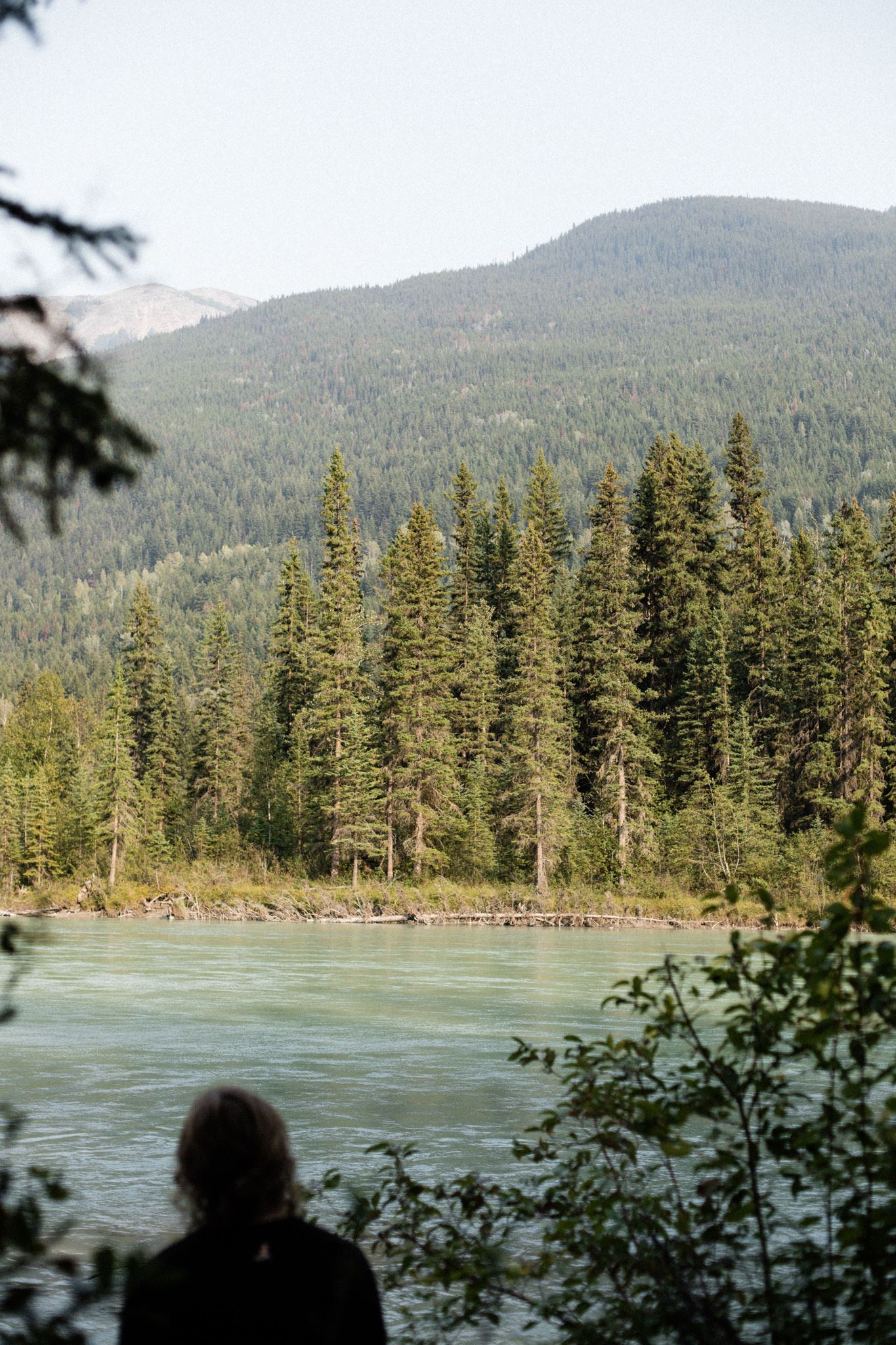
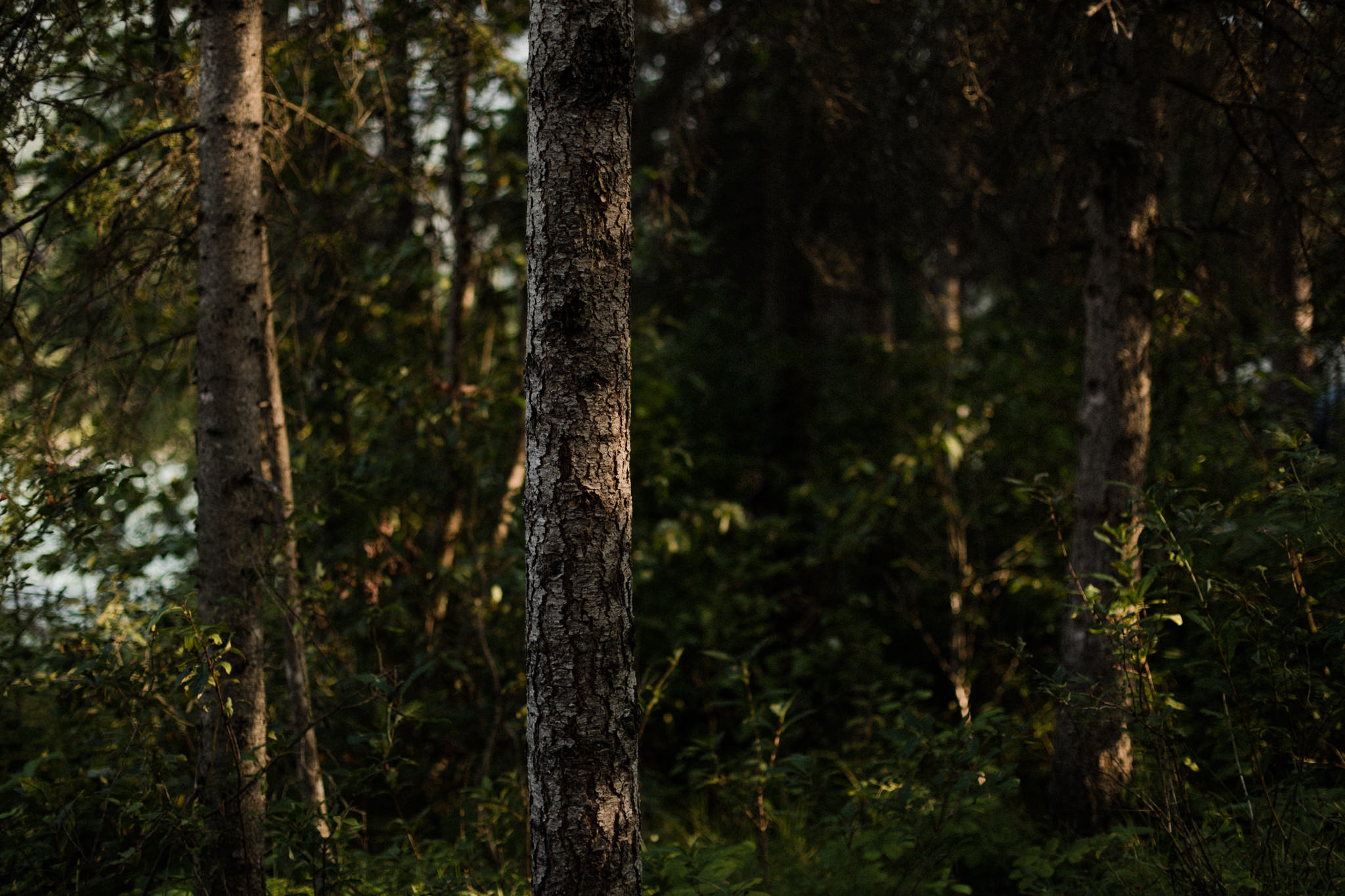
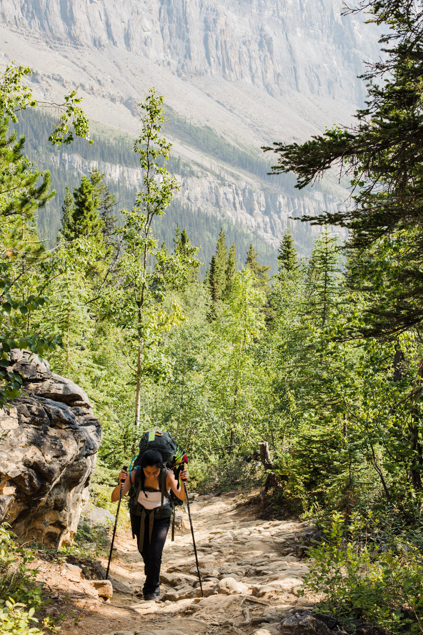
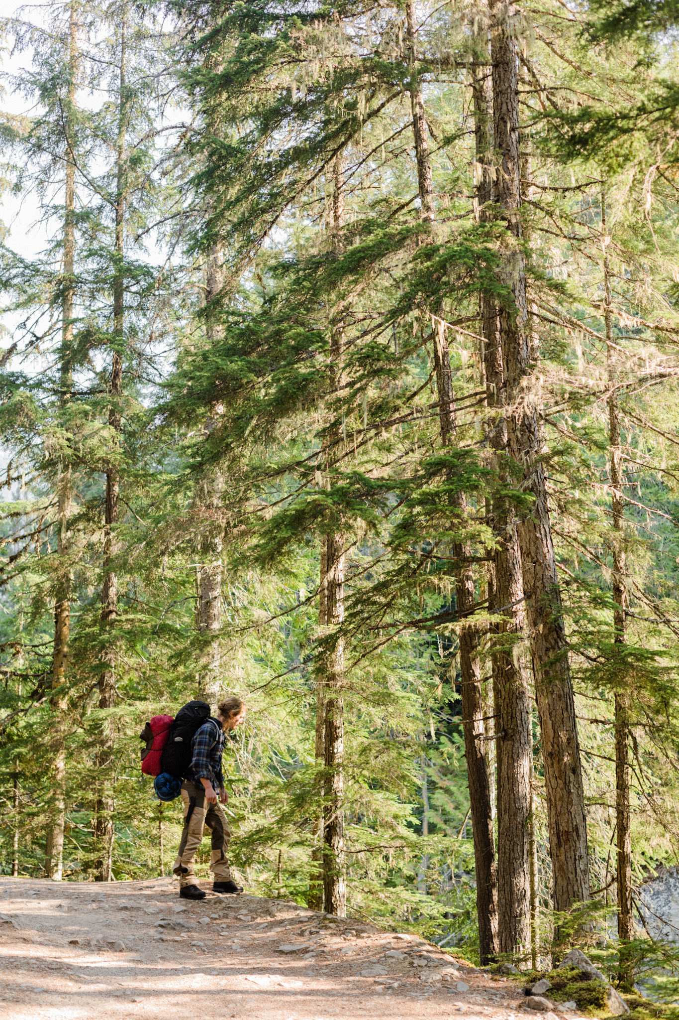
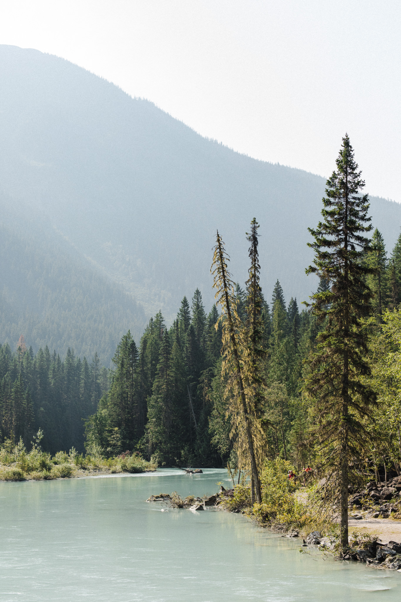
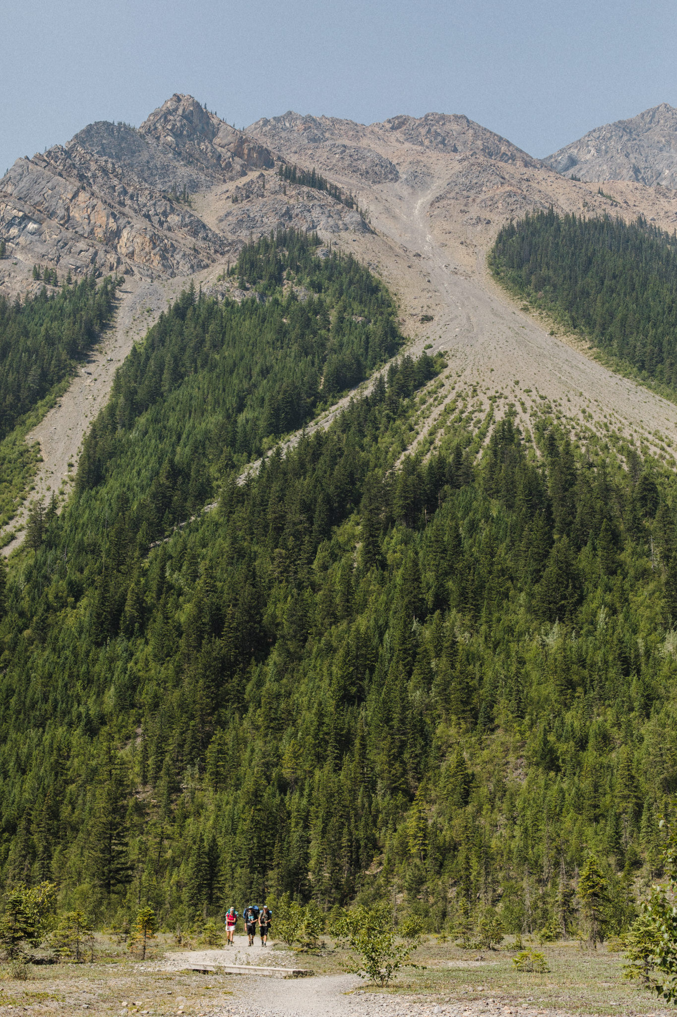
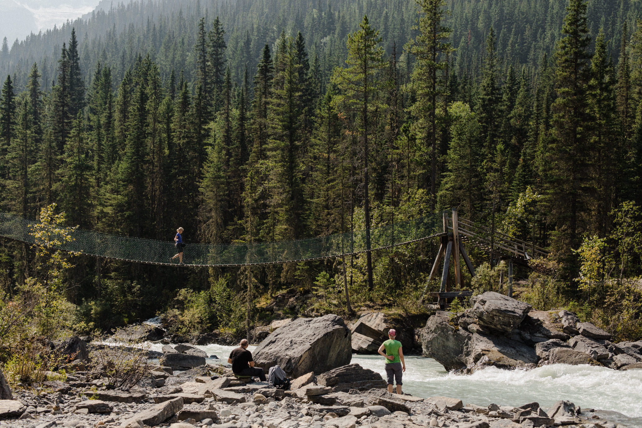
We set out on our first day at 9am, a little later than scheduled, but armed with a good night’s rest & bellies full of breakfast. With daylight hours being so long during our summer, we knew we’d make it to our campground with daylight to spare. The first 11km (6.84mi) of gradual elevation eased us into our journey, walking in forest that rivalled anything Disney-Pixar could conjure up. Dozens of healthy, tall cedars and redwoods stood proud while toadstools, moss and lichen littered the forest floor at their feet. The air here was sweet, thick with the scent of a thriving ecosystem.
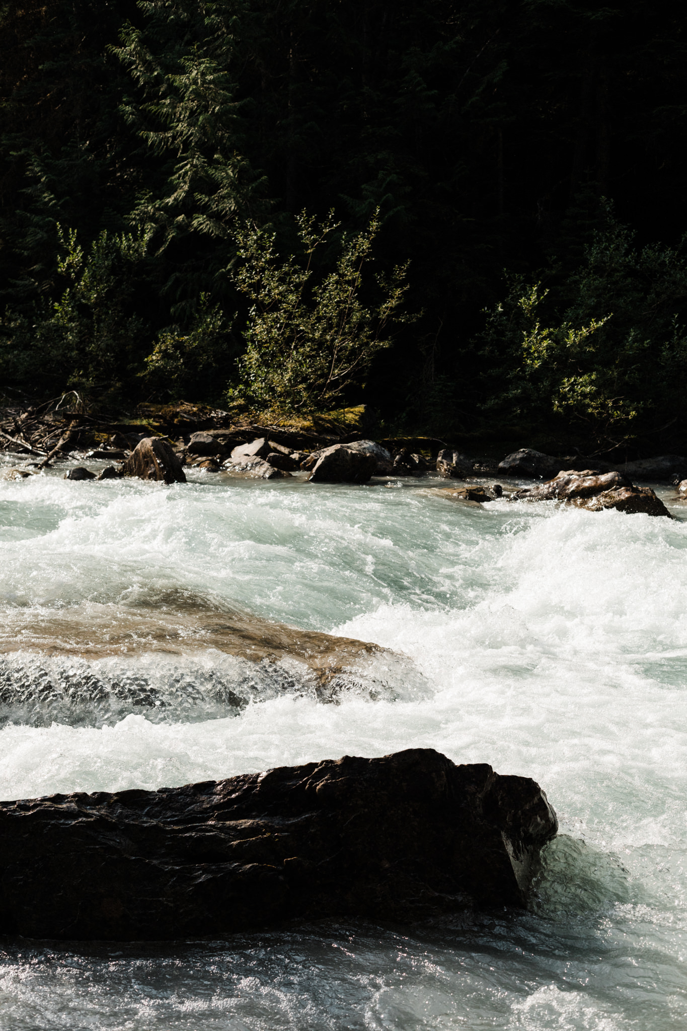
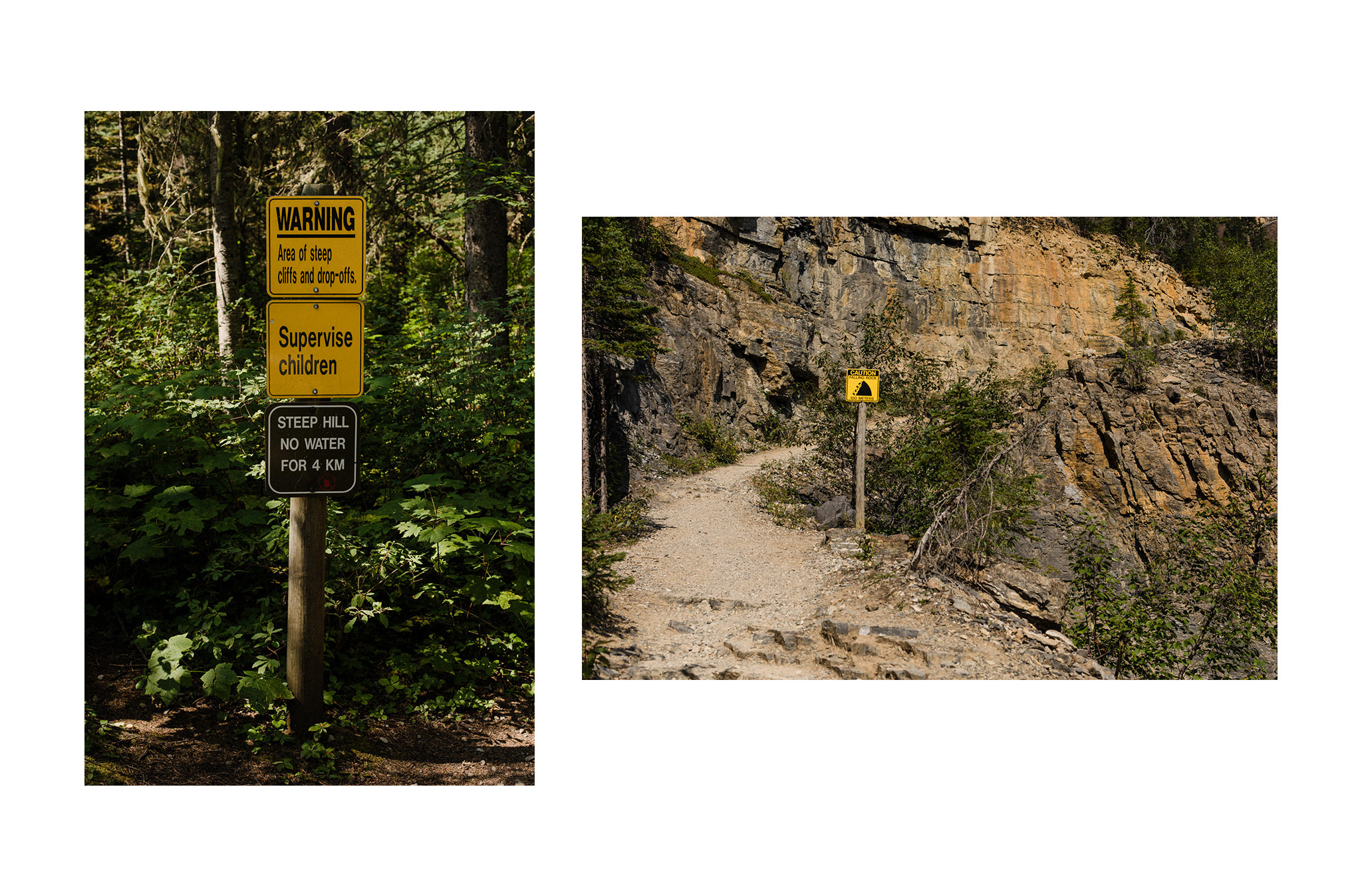
It was the 5km stretch between our planned rest stops at Whitehorn & Emperor Falls campground that we were most concerned about. I knew what lay ahead: over 500m of elevation gained over 5km (3.1mi), with absolutely no access to water. We would gain more elevation in that distance than we had so far that morning, and we would still have another 5-6km to go after this section to get to our campground.
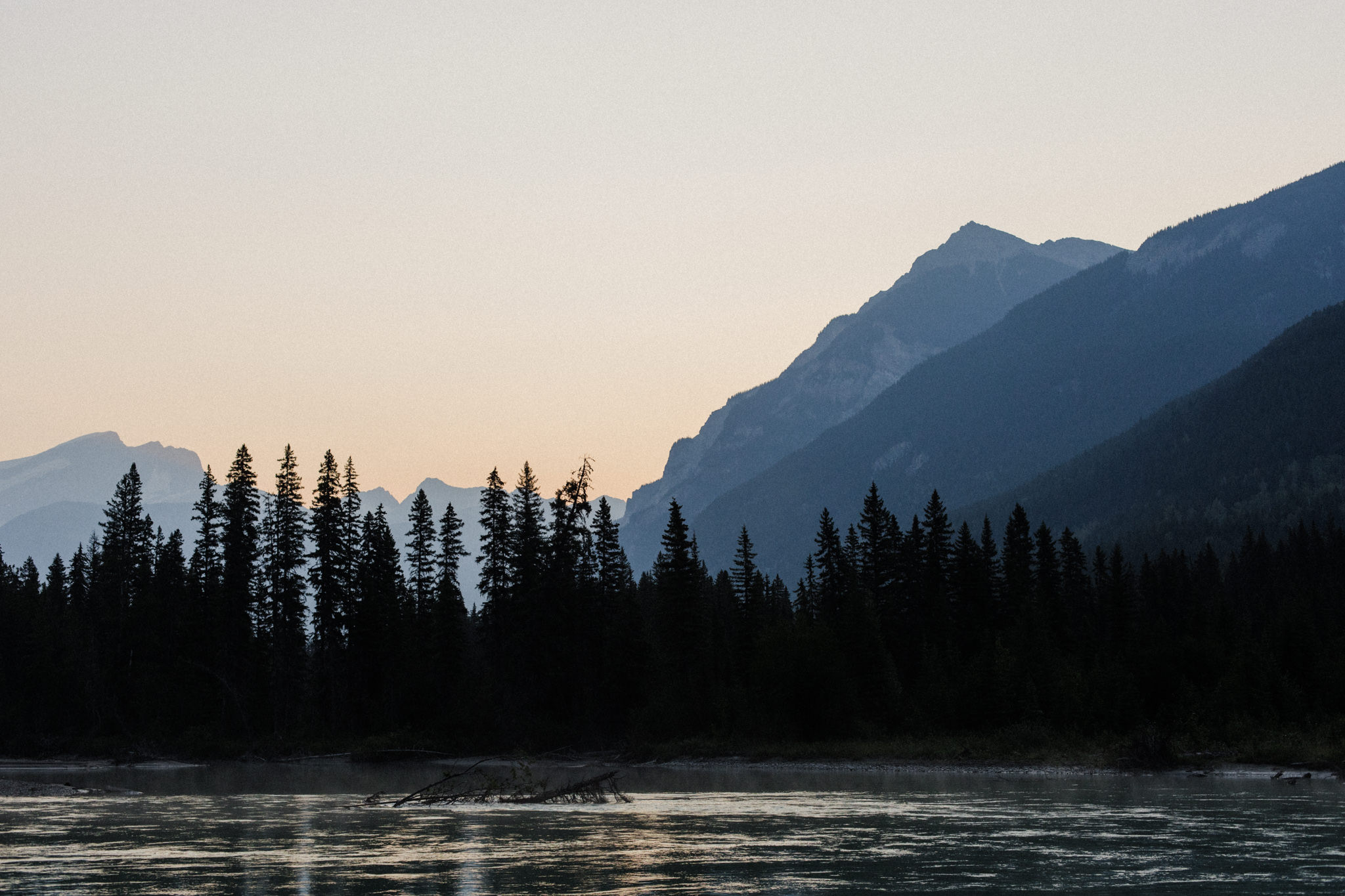
We made it to our campground around 6pm. It was as if our very bones ached with the effort of what we had just accomplished, but our spirits were energised, proud to look back on what we had gone through to get there.
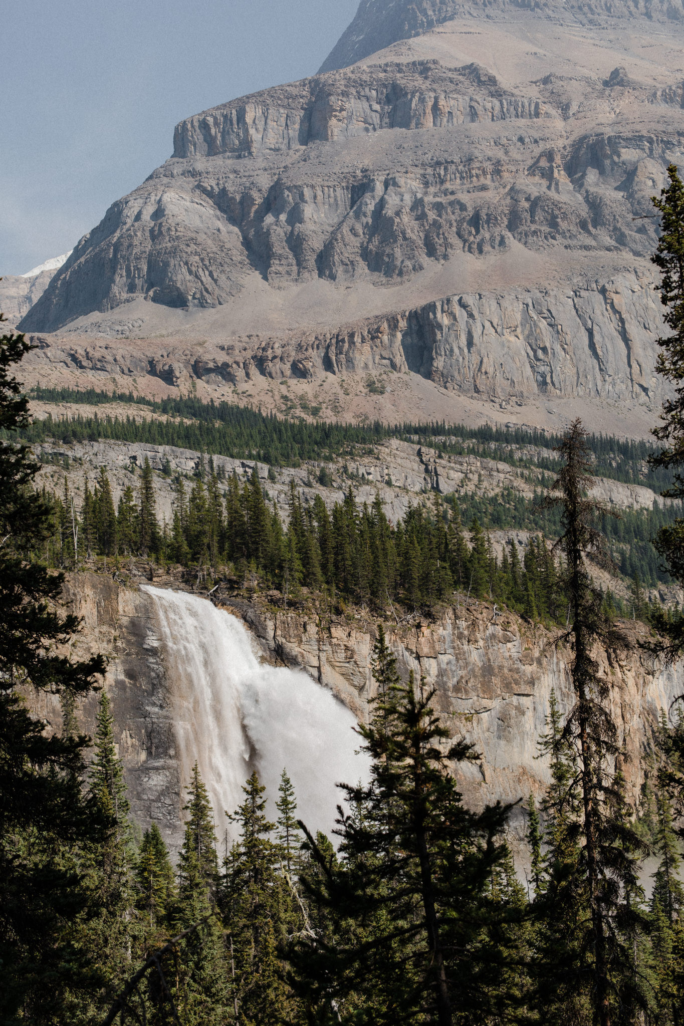
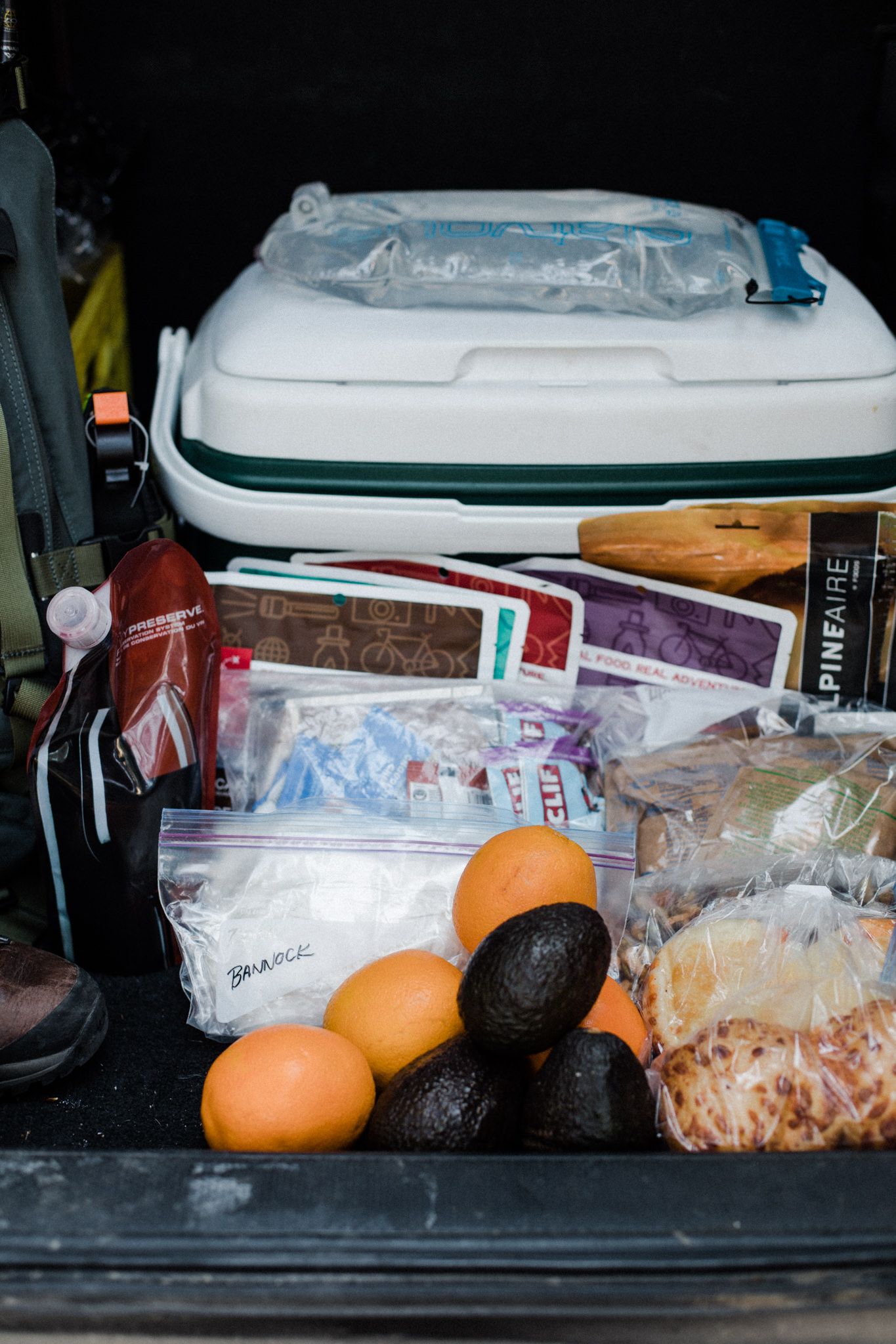
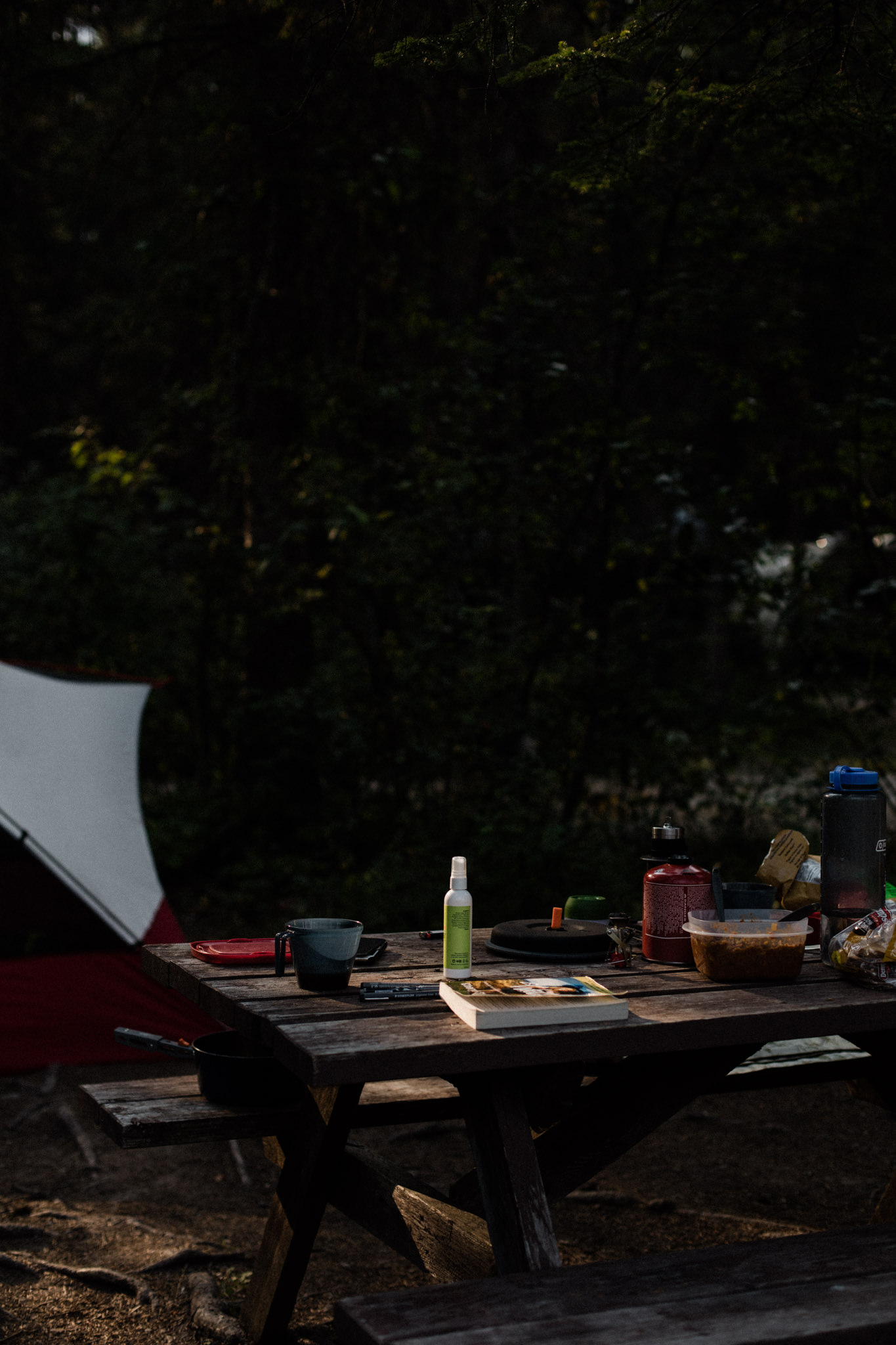
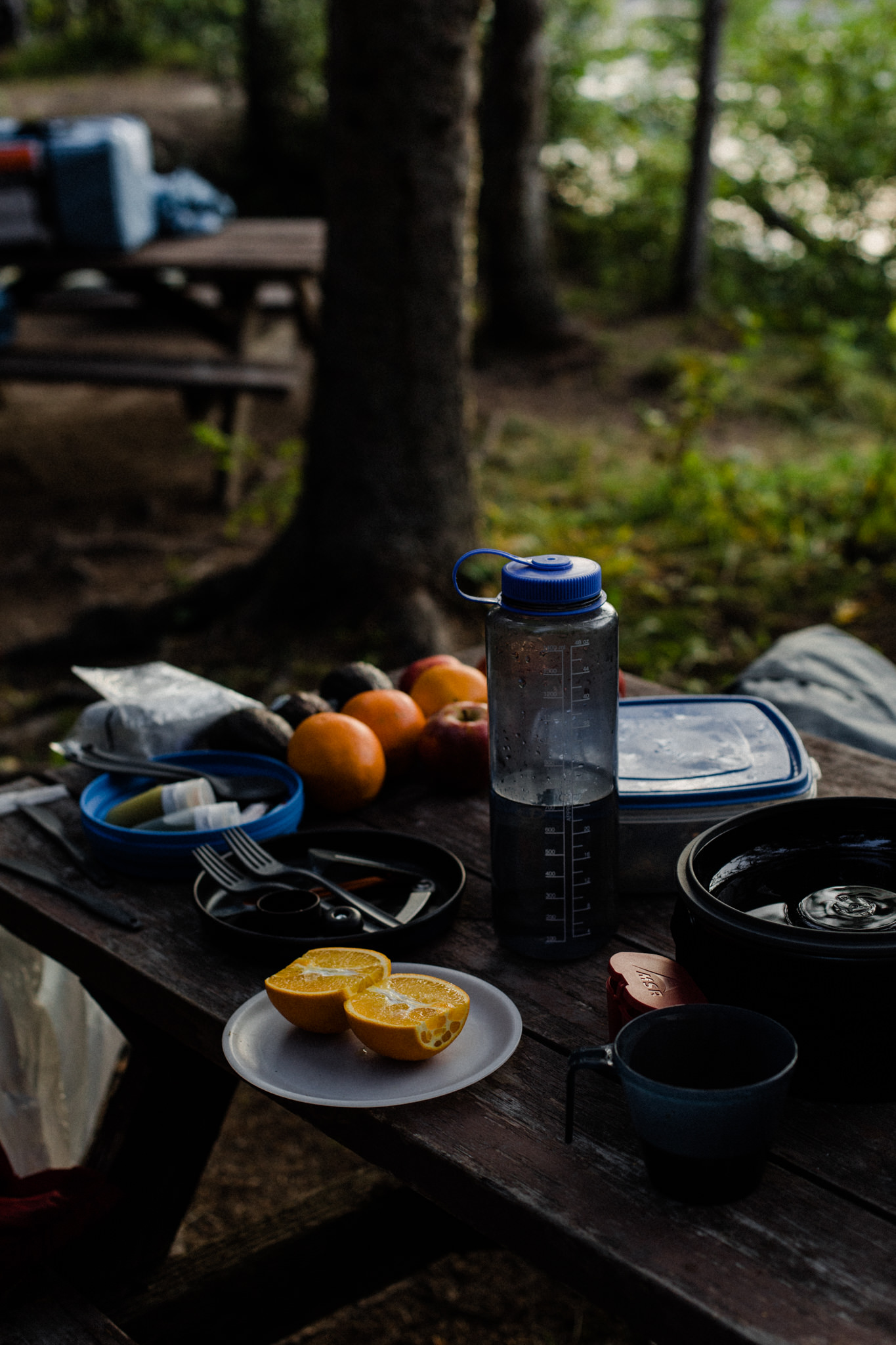
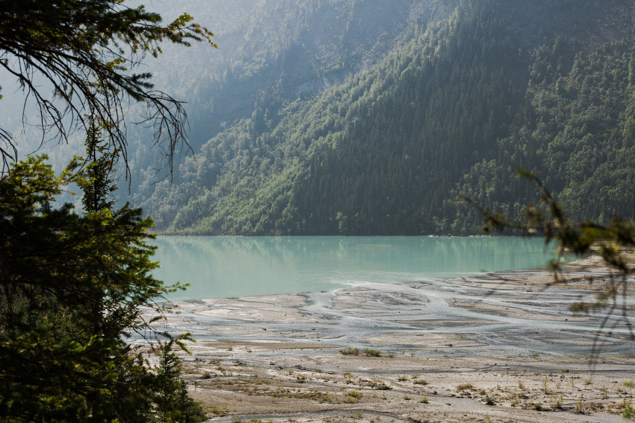
When it came time for dinner, we were grateful to have been a little luxurious with our meal planning, despite also wanting to pack minimally. We enjoyed our first dehydrated meal with some freshly made bannock, dark chocolate and even some wine while marvelling at the glaciers feeding the lake before us.